↓
JAVASCRIPT IS DISABLED. Please enable JavaScript on your browser to best view this site.
LaGrange Land Surveying
Search for:
Your First Choice for Surveying in Lagrange GA
LaGrange Land Surveying
Home
ALTA Title Survey
Atlanta ALTA Land Survey
Boundary Surveying
Construction Survey
Drone LiDAR Mapping
Elevation Survey
Land Surveying
Topographic Survey
Contact Us
Douglasville, GA (Douglas)
Heflin, AL (Cleburne)
LaFayette, AL (Chambers)
Newnan, GA (Coweta)
Ranburne, AL (Cleburne)
Wedowee, AL (Randolph)
Home
→
topo surveying
→
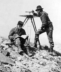
Explanation of a Topo Surveyor
→
topo-surveyor
Image navigation
Next →
topo-surveyor
Published
February 23, 2012
at
250 × 293
in
Explanation of a Topo Surveyor
Image navigation
Next →
↑