↓
 

LaGrange Land Surveying

Your First Choice for Surveying in Lagrange GA

LaGrange Land Surveying
  • Home
  • ALTA Title Survey
    • Atlanta ALTA Land Survey
  • Boundary Surveying
  • Construction Survey
  • Drone LiDAR Mapping
  • Elevation Survey
  • Land Surveying
  • Lot Survey
  • Topographic Survey
  • Contact Us
  • Douglasville, GA (Douglas)
  • Heflin, AL (Cleburne)
  • LaFayette, AL (Chambers)
  • Newnan, GA (Coweta)
  • Ranburne, AL (Cleburne)
  • Wedowee, AL (Randolph)
Home→land surveyor→Licensed Land Surveyor: Using GPS to Track You – Is It Real? →land surveyor GPS tracker

Image navigation

← Previous Next →

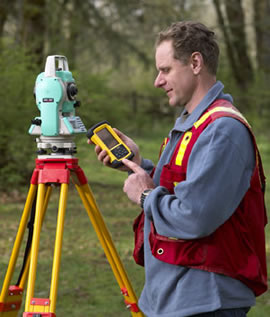
land surveyor GPS tracker

Published October 12, 2012 at 270 × 317 in Licensed Land Surveyor: Using GPS to Track You – Is It Real?

Image navigation

← Previous Next →
© LaGrange Land Surveying
LaGrange, GA
Phone: (706) 407-2722

Web Development and SEO by:
N2Biz.co


Privacy Policy | Terms of Use

↑